
Maungatapu Track ~ Jan 4-5, # 17

Pelorus Bridge to Camp 1: 15 mi / 24 km; Ascent 3107 ft / 947 m, Descent 1439 ft / 439 m
Our second dilemma of the new year - which route to take to Nelson? We had already decided that we would save traveling through the Molesworth and Rainbow stations until our return North. Instead, we were heading to Nelson to ride a section of the Great Taste Trail and continue on to the West coast.
The stakes of this dilemma were a bit higher than when we left Havelock. From Pelorus Bridge, it was either 61 km on the state highway crossing over two “considerable” saddles (the one most cycle tourists were braving)…OR…38 km via the “old road” crossing one very steep saddle over the Bryant Range (recommended only for very fit riders with mountain bikes, or very sturdy, low-geared touring bikes, also part of the TA cycling route).
Well…I still wasn’t sure I had reached the pinnacle of “very fit” although New Zealand was proving to be the perfect training ground. But we did have “very sturdy, low-geared” fat bikes and what the cycle touring guide didn’t factor in were two back-country loving, Tassie-hardened bike packers accustomed to pushing each other up a hill, so WHY NOT give it a go?? Anything is better than riding the highway. Well…honestly, I wasn’t fully convinced until I watched a YouTube video of gravel cyclists riding/walking the track and saw it really was a gravel road, not single track.

Cycle Tour New Zealand website
Camp 1
The next morning, we crossed Pelorus Bridge and turned left leaving the highway to follow a country lane back into the mountains. In just a few kilometers, we spotted our first bald peak in the distance, Mt Richmond (1760m) and wondered if it was one of the far off ridges we had seen along the QCT.


Further along, we met up with another TA hiker. It seemed, as often as we had thought it would be better to be on foot, to take in the landscape at a walking pace, most of the hikers we passed were thinking just the opposite, especially along a road section.
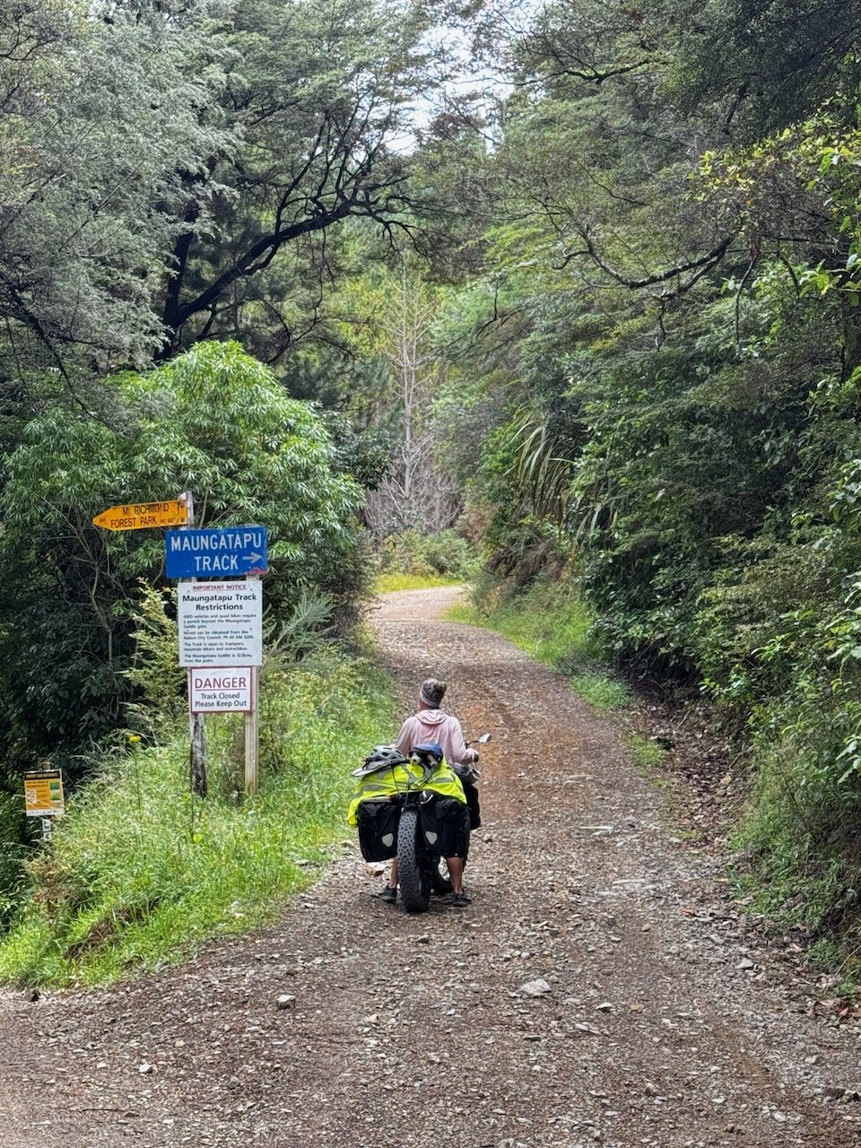
The turn-off to the Maungatapu Track was a few kilometers before the road ended and the TA walking track began. It certainly could not be missed, the warning sign was not a surprise, but the “Danger-Track Closed, Please Keep Out” did cause us to briefly question our sanity. Sure enough, after making the first corner, we were pushing.


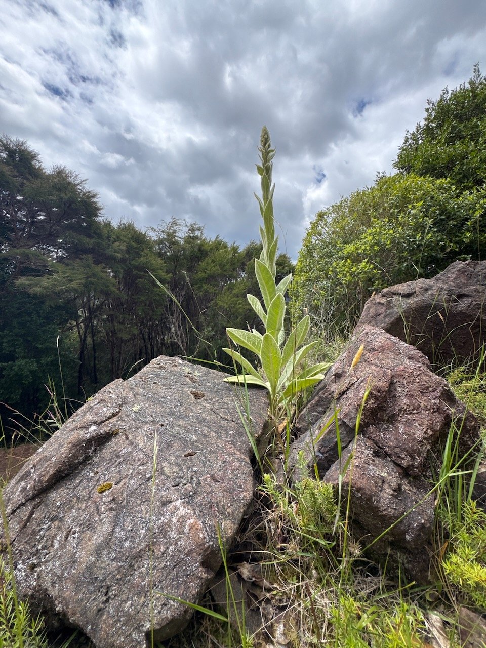
A bit disheartening off the start, but soon we reached some rideable grades, as the road continued to rise up out of the rows of plantation pines reverberating with the hum of cicadas. In just a few kilometers, we were enveloped in native bush and bird song with views into the valley below to keep our minds occupied while we rode/hike-a-biked our way along.

Finally above the farmland and back in native bush!
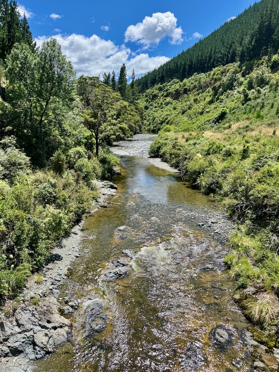
It was a relief to see the first stream flowing, until we saw another warning sign posted on the other side - this time for asbestos. Thankfully, we were the only ones on the road, and the recent rain meant dust was not an issue, but we weren’t sure what that meant for the water at our feet. By the time we reached Murderers Rock, we were only about 4 km into the climb and it was 4:30pm. The harsh reality sunk-in - it had just taken us 3 hours from the start of the track and we were maybe half way to the Saddle.


We began to search the satellite map for any nearby signs of a flat spot to camp, realizing the only likely places were next to the power line towers just above the track. The first tower felt too exposed and was directly under the lines, so we continued on. After crossing a second stream, what had been a mostly gravel road, turned into chunky rock that made the thought of attempting to grind up an incline even less appealing.


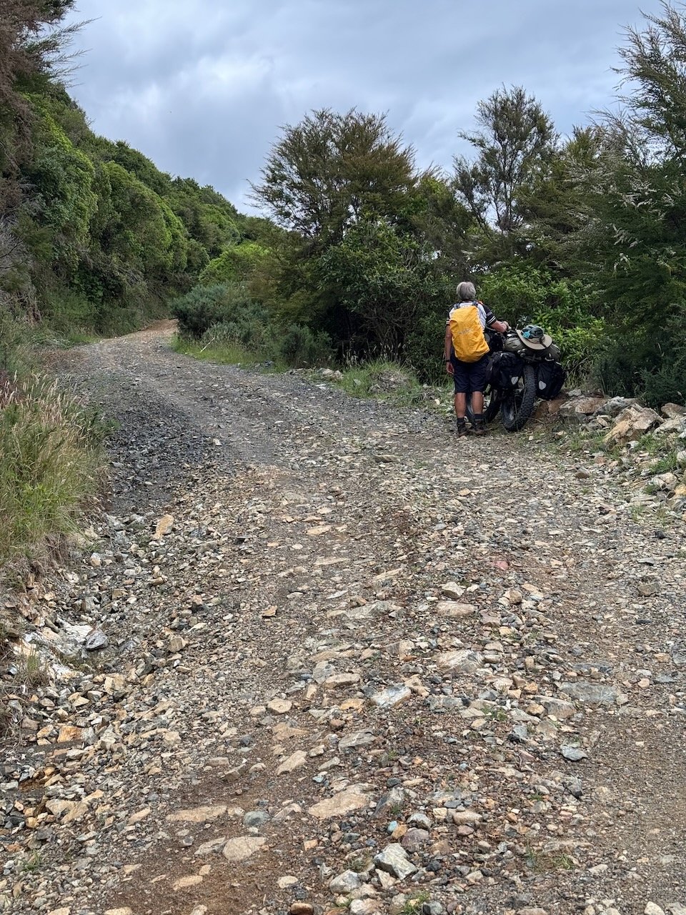


To our mutual disbelief, it was a couple hours later, when we arrived with the first bike at an overgrown trail that switched back up to the second tower. This tower was situated higher above the road than the first, giving us hope - this might be our camp for the night. Around the corner, the track looked even steeper, and dusk along with possible rain showers, were fast approaching.
Just as Nivaun started up the trail, we heard crashing in the bush above and caught a brief glimpse of a startled deer trying to jump further up the hillside - it was our first deer sighting in the bush! I waited anxiously for Nivaun to return with a campsite verdict - “it wasn’t ideal, but it was better than continuing around the next corner”. After walking back to get the second bike, we rode up the trail just past the tower to what I instantly deemed, a most glorious perch to fully appreciate every bit of elevation we had gained over a lengthy afternoon.


Our “wild” camp view next to the power line
Camp 2

Track Start to Camp 1: Route 3.7mi / 6km (actual “Hike a Bike” 6.7mi / 10.8km); Ascent 2068ft / 630m, Descent 478ft / 146m
Showers had started just as we finished dinner the night before, and didn’t end until the early hours. But to our delight, we woke to find the sun creeping through a sea of clouds illuminating each blade of grass, leaf and flower. It felt so good to finally wild camp again. After confirming we still had a weather window of at least 1-2 days before more rain arrived, we decided to look for another campsite somewhere near the Saddle.


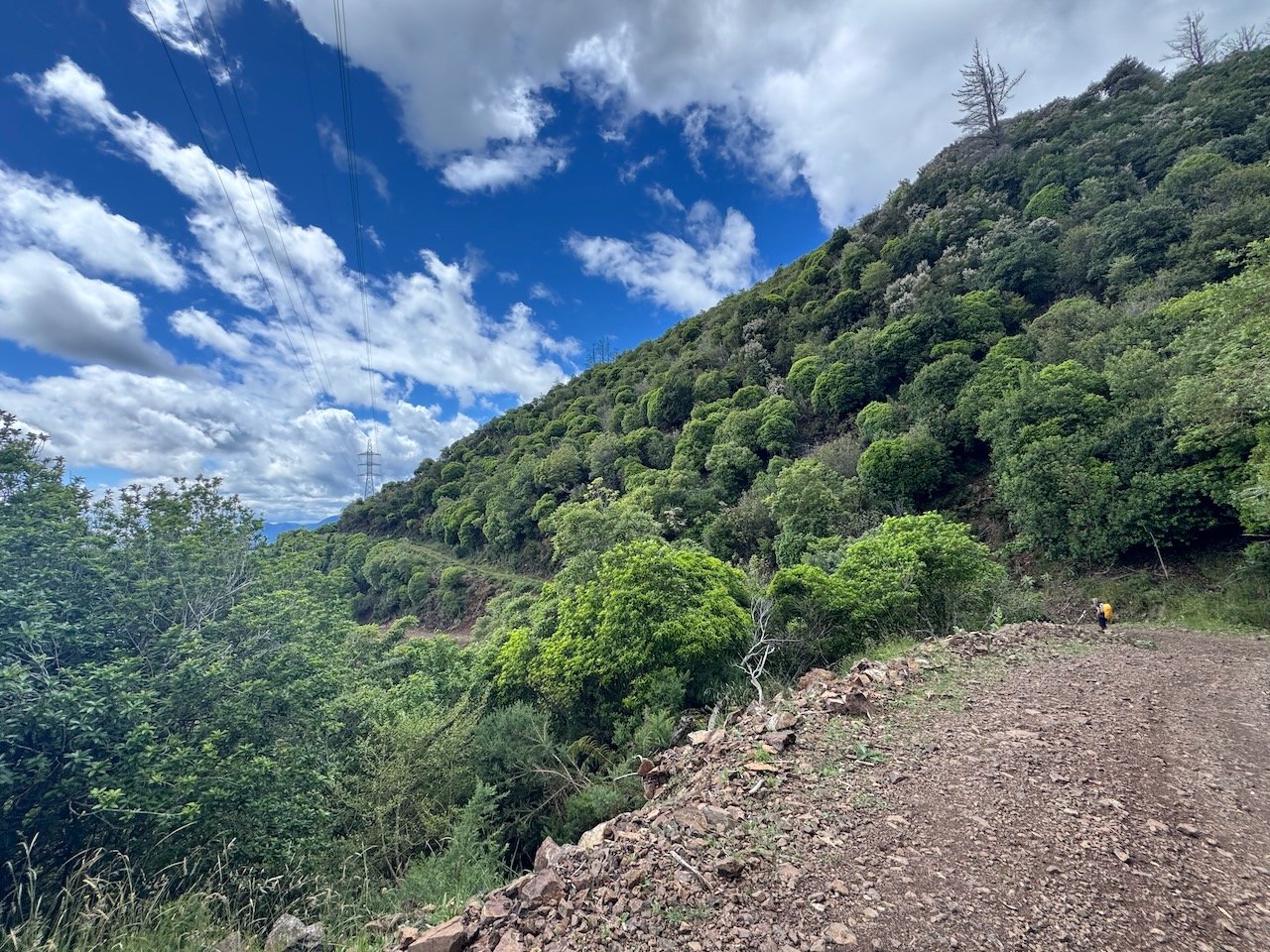
A couple hours in to walking back and forth pushing each bike, we came to another track leading up to a tower and decided to see whether it reconnected further up the road, as shown on the map. A couple switchbacks and a steep pitch later, we reached the tower only to find the track ended at a rocky outcrop several meters above the road. From there we could see what looked like the top of the Saddle and decided this side track might be the only other sizable flat spot we would find.


After spending the rest of the afternoon exploring around camp, we were both grateful to be traveling at pace that let us appreciate the area we had worked hard to reach, rather than rushing through it. And at the same time, it felt strange, realizing this was the first time, since we arrived in New Zealand, that we were able to be in the back country on our own time schedule - something neither of us had really anticipated being a challenge.
This was what we came for - to just be in a wilderness not our own. We quietly watched the sun cast its colors across the clouds as they descended into the distant valley, now familiar.


